How can I pull code enforcement records in Vancouver, Washington?
Vancouver, WA code enforcement cases are free in the city's public Permits and Code Enforcement GIS layer on arcgis.com. Open the layer in the free Map Viewer, show the table, filter to code enforcement case types, and sort by issued date.
How do I pull code violations records step by step?
The City of Vancouver, Washington publishes its permits and code enforcement cases as a public GIS layer on arcgis.com, one level deeper than its Open Data Hub.
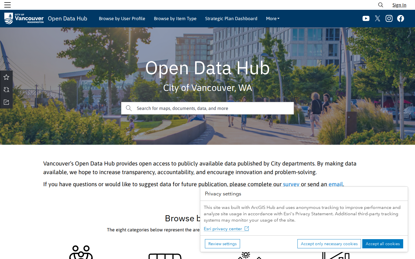
Know where Vancouver publishes its data
The City of Vancouver, WA runs an open data site at the City of Vancouver Open Data Hub, but its permits and code enforcement feed is published separately as a public GIS layer, so you go one level deeper to reach it.
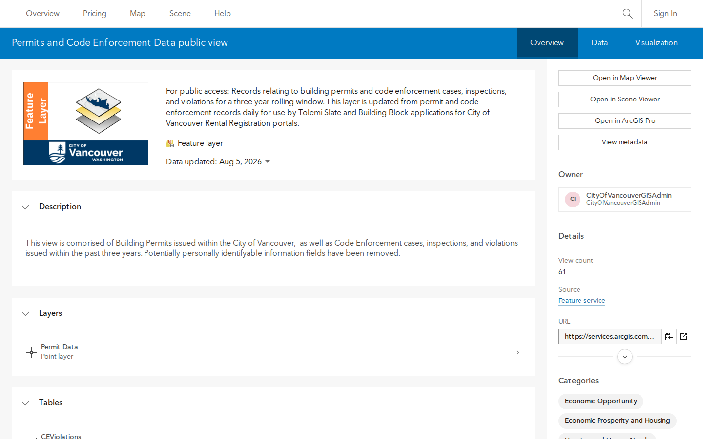
Open the Permits and Code Enforcement layer page
Go to the city's public layer Permits and Code Enforcement Data public view. This page describes the data and links to everything the city publishes in it, including code enforcement cases.
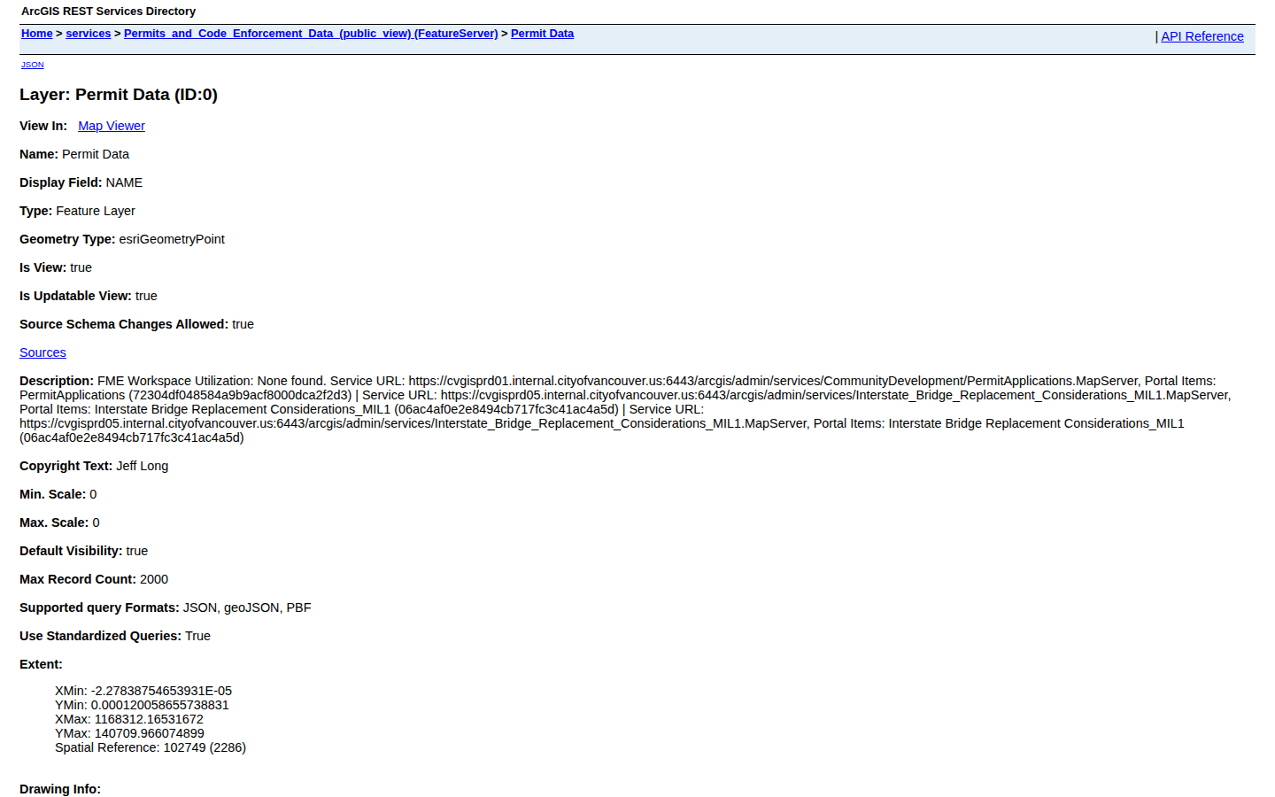
Open the Permit Data layer
From the layer page, open the layer itself: Permit Data. This plain page lists every field the city tracks for each case, including case number, description, status, and address.
Browse the records on a map
To see the actual cases, open the layer in the free map viewer: view in Map Viewer. Click Show table on the layer to browse rows, then use Filter to keep only code enforcement case types and sort by the issued date with newest first.
Record the data
For each case, capture the case number (CSM_CASENO), case description/type (cst_description — this is where code enforcement cases are identified), status (CSM_STATUS), property address (PRIM_ADDR), and the issued date (csm_issued_date). Cross-reference addresses on the Clark County property information site to get owner names and mailing addresses.
What property data does Clark County publish?
| Code Violations | arcgis.com (City of Vancouver GIS) · ArcGIS · FREE |
Common questions
Live in CountyPull for Clark County right now
| List type | Records | New in 30 days |
|---|---|---|
| Code Violation | 5,806 | 0 |
CountyPull pulls Clark County fresh every morning — cleaned, deduped, skip-trace ready. The free plan includes 100 rows every month.
Get 100 Free Leads →